The mountains
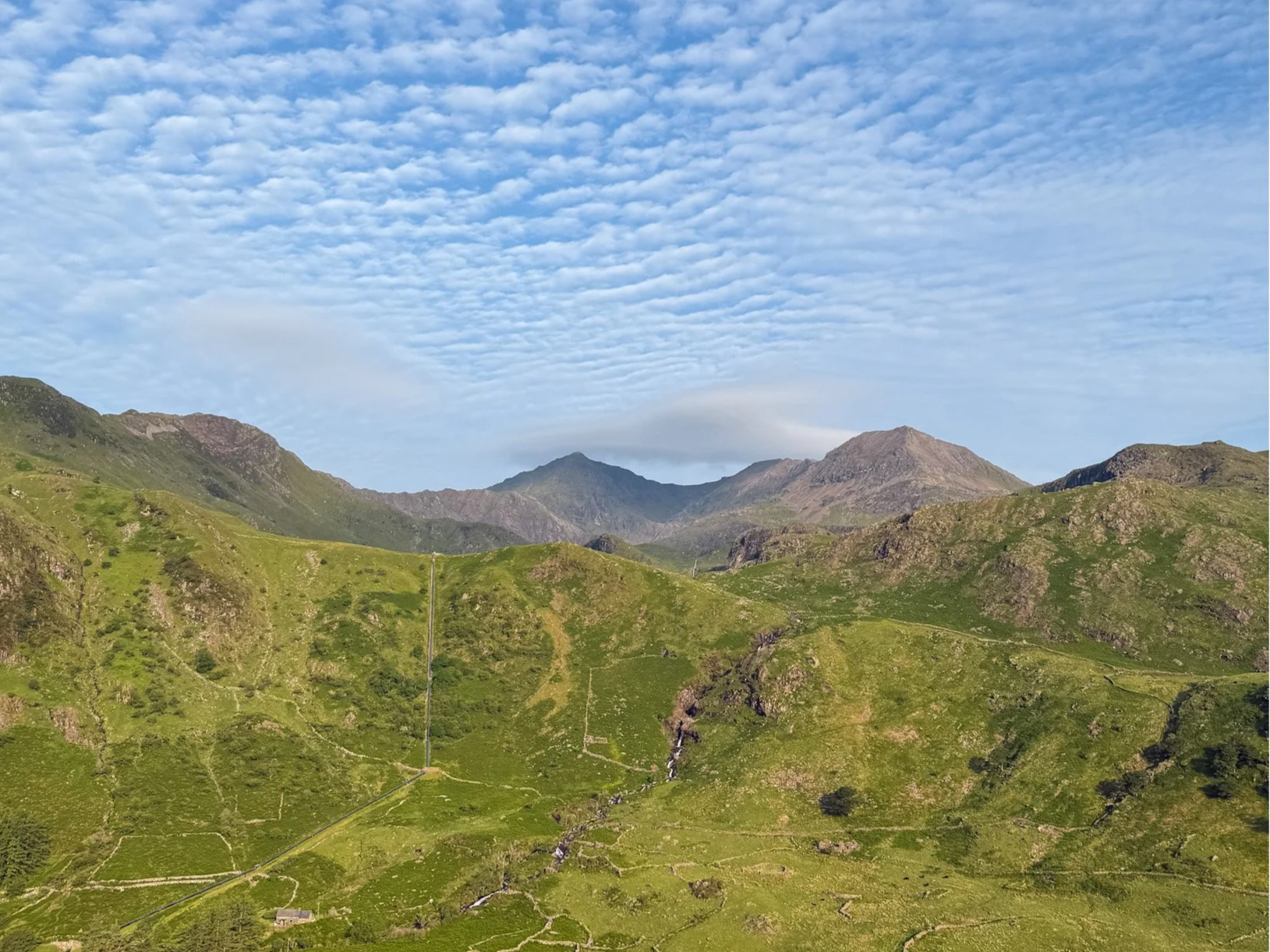
Routes up yr Wyddfa are accessible directly from the campsite.
Some of the great mountaineers of the 20th century, including those of the Everest expedition of 1952–53, trained on these steep slopes.
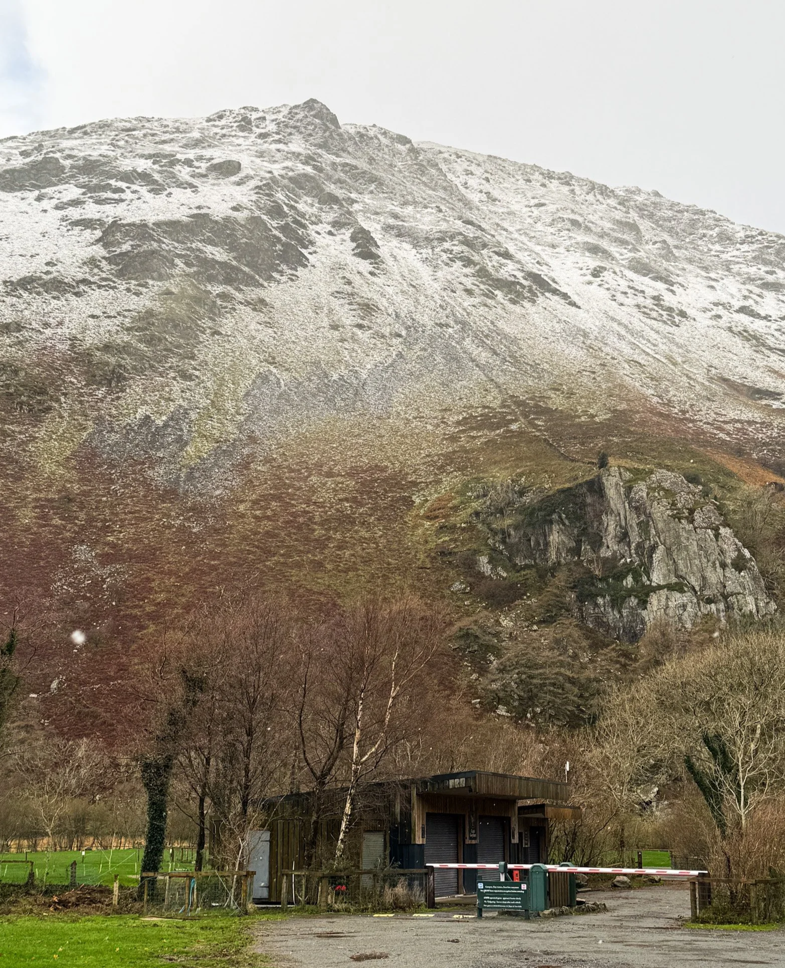
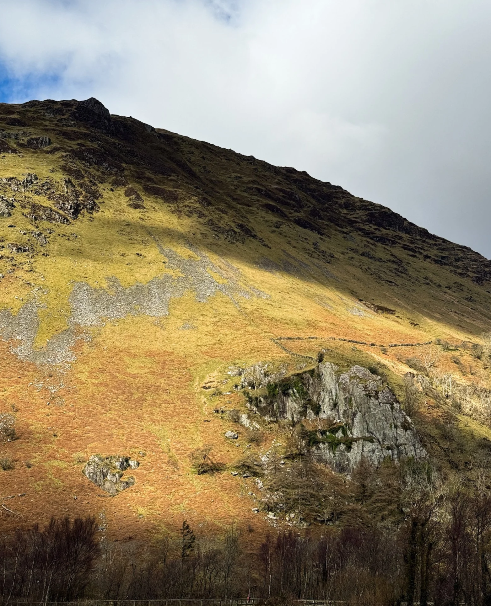
Gallt y Wenallt towers over the site. The area offers many climbing options. Campers frequently base themselves at Llyn Gwynant to boulder, rock climb or trek to the mountain tops.
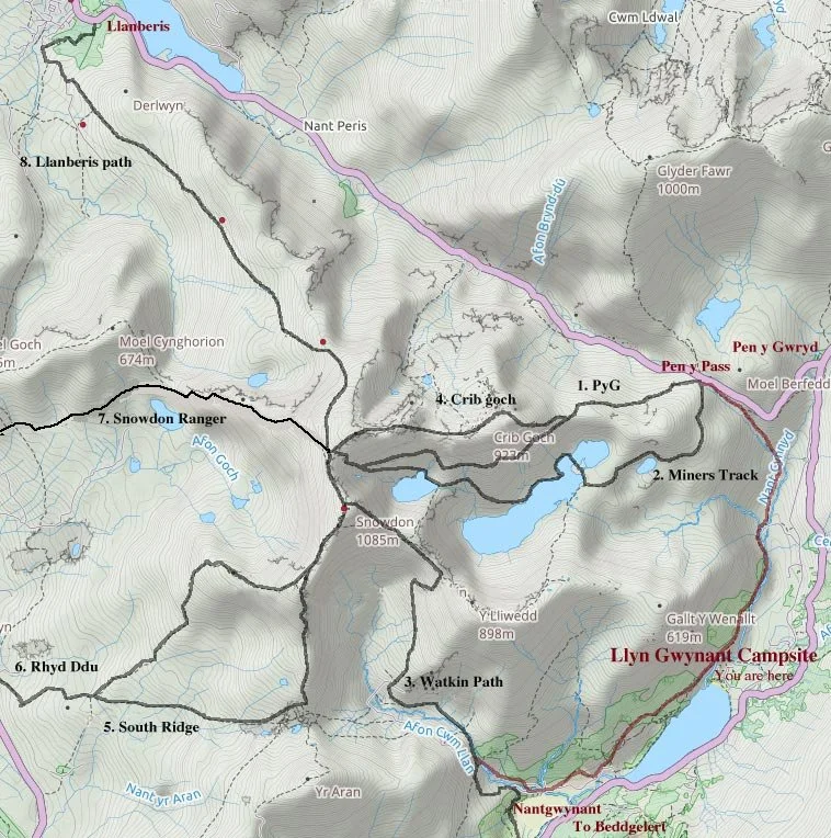
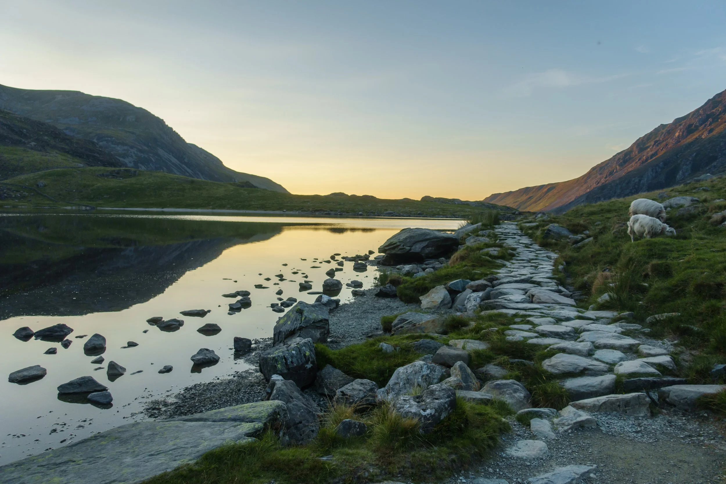
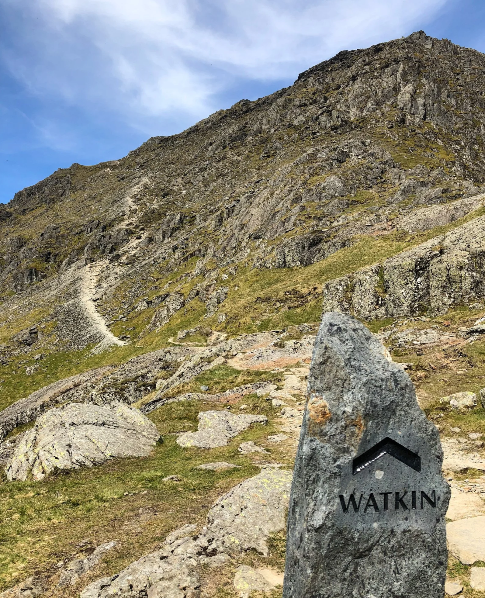
Three of the main routes up yr Wyddfa can be accessed directly from the campsite: the Watkin Path, from one end of the lake, or the PyG and Miner’s tracks from the other. Many other local climbs and routes to other mountaintops are close by.
Llyn Gwynant Campsite is a perfect base camp, not only for Eryri routes, but for many other mountain walks as well. An OS map with the campsite at the centre is available from our shop, as well as other OS maps and some books on the classic local mountain treks.
A good website for information on walks in Eryri is Mud and Routes. Five beautiful local walks are described in the Goboony blog.
Mountain walks
-
1. PyG Track: 6km, vertical gain 760m, 2½ hours up, start altitude 360m: Shortest route starts at Pen y Pass and gains height earlier than the Miner’s Track, so a steadier climb.
2. Miner’s Track: 6.5km, vertical gain 760m, 2¼ hours up, start altitude 360m
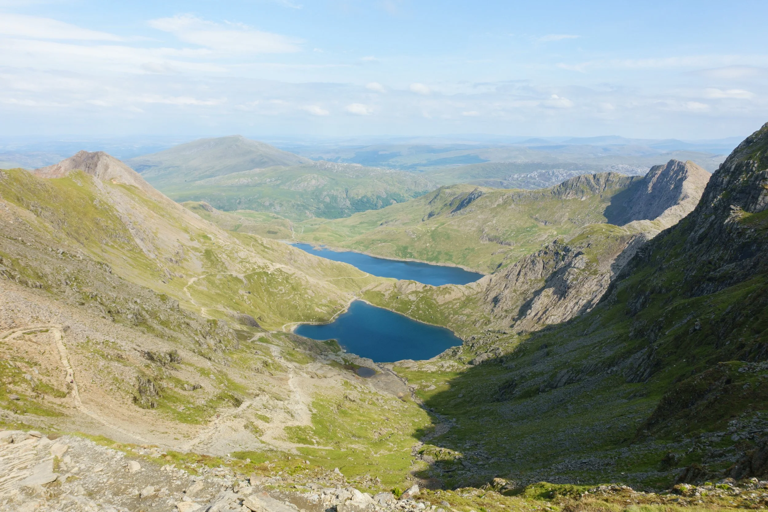
A popular route from Pen y Pass, starts very easy on side paths and ends with a steep climb up rocky zig-zags. Great views and excellent picnic spots by Llyn Llydaw and Llyn Glaslyn.3. Watkin Path: 6.5km, vertical gain 1020m, 3 hours up, start altitude 65m
Starts at its lowest point, at Nantgwynant, very scenic with woodlands, waterfalls and mining ruins. Finishes with a treacherous loose scree slope that can be dangerous in wet and windy conditions.4. Crib Goch: 5km, vertical gain 760m, 3 hours + up, start altitude 360m
Not a route for the faint-hearted and should be avoided in strong winds and rain or snow. It is technically a grade I scramble and has exposure to some steep drops and cliffs. Starts at Pen y Pass.5. South Ridge: 6.5km, vertical gain 870m, 3 hours up, start altitude 190m
The least used route, spectacular views and quiet. Starts with the Rhyd Ddu Path then ascends through old quarries. You can divert to Yr Aran on the way up and rejoin the path for the final South Ridge.6. Rhyd Ddu Path: 6.5km, vertical gain 900m, 3 hours up, start altitude 190m
Another less popular route, somewhat uninteresting. One exposed section at Bwlch Main is best avoided in strong winds and mist. The South Ridge is better in bad weather if starting from Rhyd Ddu.7. Snowdon Ranger: 6.5km, vertical gain 900m, 2 ¾ hours up, start altitude 145m
Begins at the former youth hostel at Llyn Cwellyn near a Welsh Highland Railways station with a couple of steep zig-zag sections near the start and the end, but quite straightforward. Probably the next easiest route after the Llanberis Path.8. Llanberis Path: 7km, vertical gain 950m, 3 hours up, start altitude 115m
The easiest route – it generally follows close to the moderate gradient of the railway line. Also the most popular and one of the least interesting.
-
Driving to the start of the nearest routes is faster than walking. However the public carparks are expensive and must now be pre-booked. We advise booking at least a week in advance during the high season and earlier for weekends. For details, go to the Eryri National Park website.
To walk to Pen y Pass, which is the start of Miner’s, PyG and Crib Goch routes, you can avoid the main road. The walk takes around 1¼ hours. Either turn left at the cattle grid at the campsite entrance and walk via the old road up the tracks to the carpark, or else cross the bridge in Bridge Field, turn right up the valley and head up the tracks.
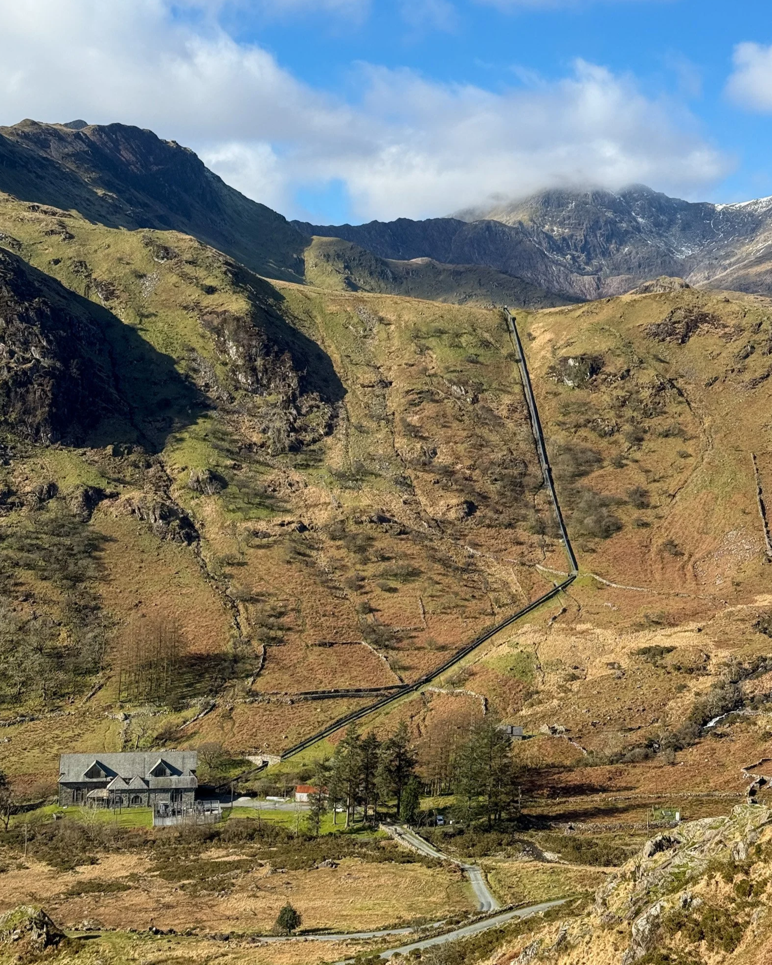
To Nantgwynant for the Watkin Path is 2 miles by road, or a 50-minute scenic walk on the other side of the lake – turn left at the bridge in Bridge Field.
Rhyd Ddu is 7.8km from the campsite. The easiest way to get there is by car. You can access it via the S4 Sherpa bus to Beddgelert, where you need to change to a S3 bus which stops near the start of the track.
The Sherpa S4 bus may no longer stop at the campsite entrance. They are often full by the time they pass our campsite entrance and so can no longer be relied on to stop when waved down.
A round trip via Watkin Path, back via the PyG or Miner’s tracks, can include a stop at the Pen y Gwryd Hotel for a pint afterwards. You should allow 8 to 9 hours walking for this round trip.
Local climbs and treks
Four crags are within easy walking distance of Llyn Gwynant, of which the most popular are Clogwyn y Bustach and Clogwyn y Wenallt, with several classic routes. Clogwyn y Bustach has one of the earliest recorded climbs in Snowdonia – Lockwood’s Chimney (Diff – VDiff).
-
Clogwyn y Bustach has one of the earliest recorded climbs in Snowdonia – Lockwoods Chimney (Diff – VDiff). This is also one of the most unusual in the area, as most of the climbing takes place in a huge cleft inside the cliff, and is a popular wet-weather option.
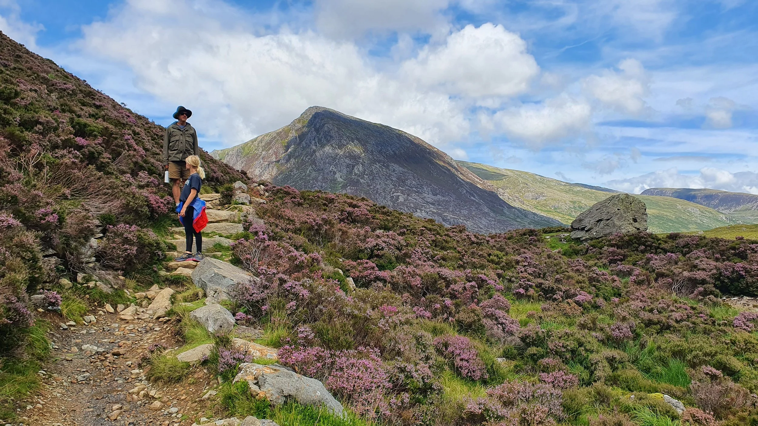
The classic Gallop Step (HVS) is located on the same crag, another unique climb that starts and finishes on the ground. The crag is a 20-minute walk up the river from the campsite – go across the stone bridge at the back of Bridge Field then turn right and walk up the valley. On the way to Clogwyn y Bustach, on the side of the path, is the huge Homage Boulder. This has a classic V6/Font 6A traverse from right to left, and there are many other problems on the scattered nearby boulders.
Looming over the site, only 10 minutes walk up from the old bridge, is the crag on Gallt y Wenallt called Clogwyn y Wenallt, which has 20 or so climbs for experienced climbers on steep and well protected rock. There are some excellent VS to HVS routes and others up to E5 around 60 m long. The classics of these are Oxine (VS) and Ferdinand (E2). Please note that all routes are quite exposed and have great views of the campsite and lake.
Further down the lake are two more crags that are less popular but have worthwhile routes in a beautiful setting.
The first, Clogwyn y Fulfran (locally known as Elephant Rock), is 10-15 minutes walk from the campsite and has about 10 routes from VS to E2. However, the most unusual adventure here is a bouldering/deep-water solo traverse around the base of the cliff where it rises out of the lake itself. The difficulty of this is anywhere from 5a to 6a depending on the line taken.
Another 10 minutes along the lakeshore lies the crag Penmaen Brith, which has a dozen or so routes, the most popular of which are the lower grade Excalibur (VDiff), which follows a striking diagonal wide crack and chimney, and the Gwynant Needle (VDiff). The Gwynant Needle is an impressive tower separated from the rest of the cliff by a 3–4m gap. The climb starts up a tight chimney on the left-hand side then spirals around the back then front of the needle, with great exposure at the top. An exhilarating jump can be made from the top to the main cliff, or a rappel for the more faint-hearted. Harder routes are possible up the front of the needle. For more details of these and other climbs in the area see the Tremadog guide by the Climbers Club.
In addition to the climbing within walking distance of the campsite, many world-class crags are within 20 minutes drive, including the cliffs of Llanberis Pass, Tremadog and the Ogwen Valley.
If you are not camping with us you can access the climbs by parking in the laybys on the A498 beside the lake and following the public footpath around the lake, through the campsite and over the old stone bridge. If you want to park at the campsite you must book as a day visitor.
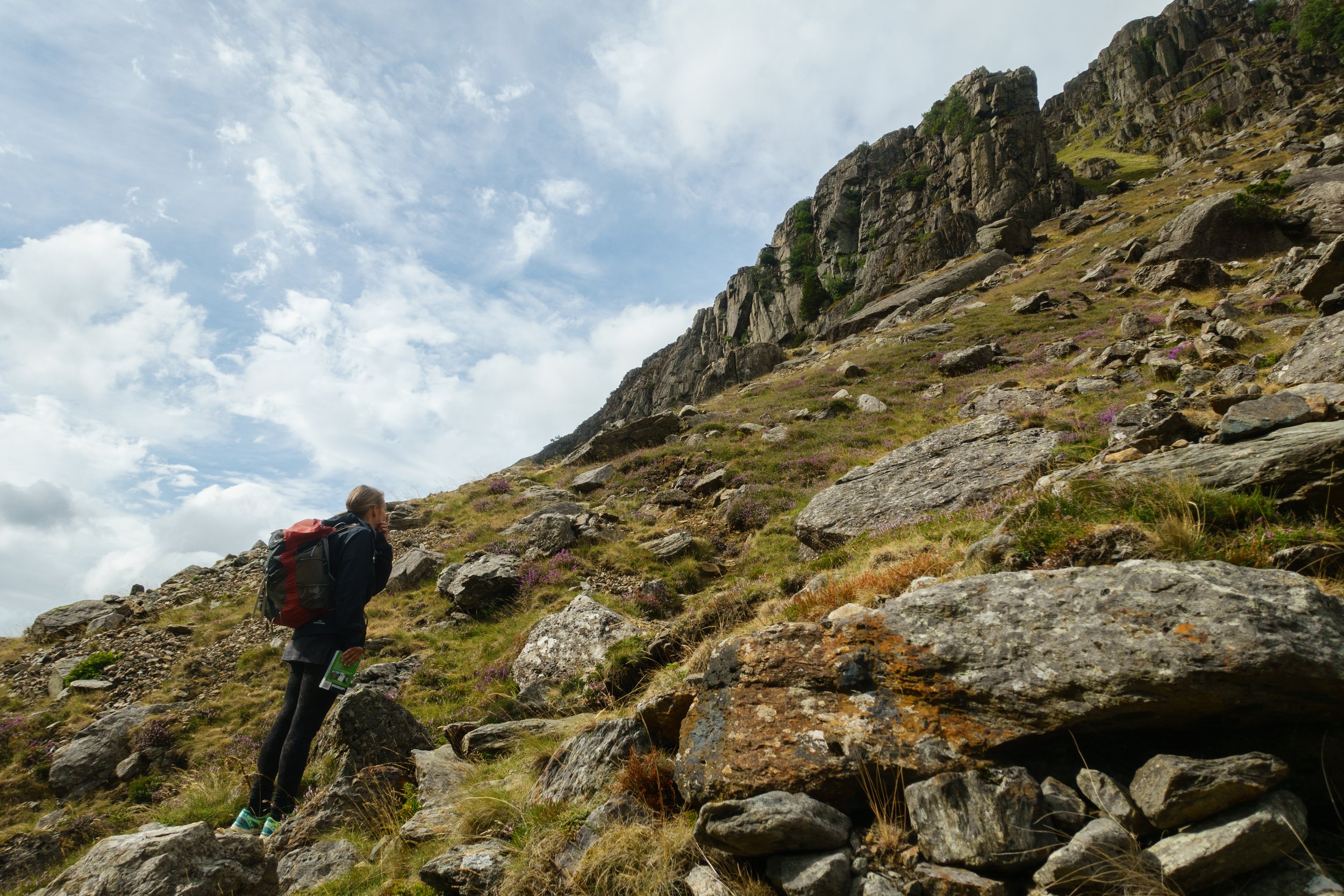
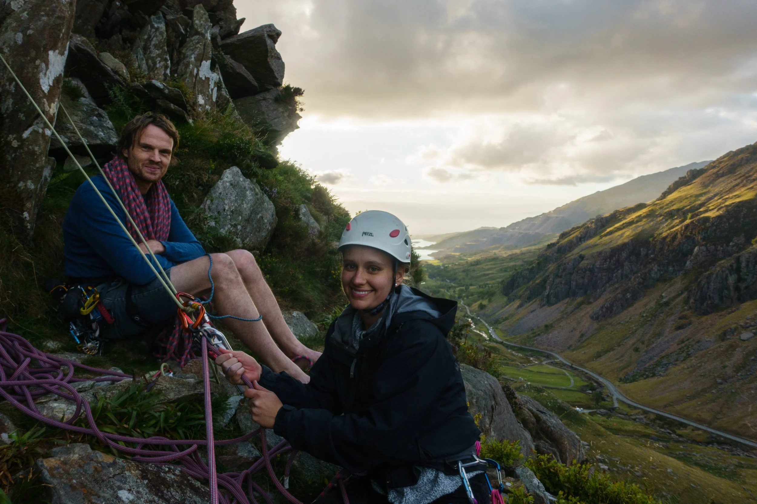
Dinas Cromlech crag, Llanberis Pass
Climbing on Dinas Mot crag, Llanberis Pass
Looming over the site, only 10 minutes walk up from the old bridge, is the crag on Gallt y Wenallt called Clogwyn y Wenallt
Eryri/Snowdon routes from the campsite
Download our printable document: Walks up Snowdon.
We are also near these main routes up Eryri shown below.